GPR Survey Services In UAE
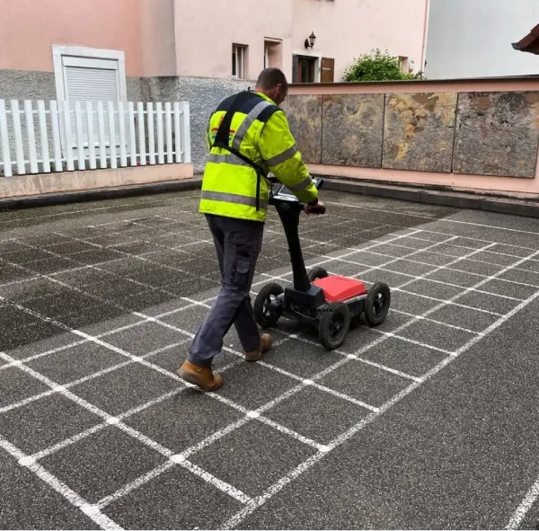
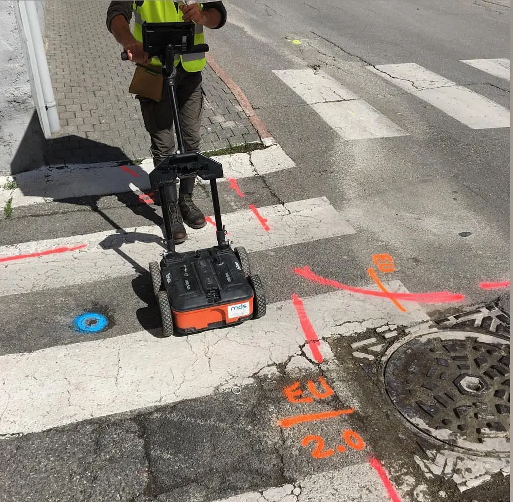
How Do We Conduct GPR Surveys
Ground penetrating radar, or GPR is a quick, secure, and non-destructive geophysical method for finding subsurface objects, including non-metallic ones. The tool works by sending signals into the ground and capturing key elements by observing reflections. Consecutively the software then identifies structures beneath the surface and highlights this in raw data. Its an excellent tool for locating utilities, spotting voids or cavities, evaluating structural problems, and directing excavation operations. can use GPR scans to offer vital information on the positions of subsurface features and the construction of structures and avoid expensive exercises. Let us help you prevent project delays and make wise judgments using our GPR evaluation.
What is the science behind GPR?
Ground Penetrating Radar or GPR is used to maps buried structures and determine their depth using radio waves. An antenna specifically sends pulses into the ground and the software in turn records their reflections off of subsurface objects. The tool then calculates the time it takes the signal to return is translated to depth using the material's conductivity. However Its interesting to note that the penetration depth varies up to 30m in low-conductivity materials, less in high-conductivity materials and is affected by antenna frequency. Notably Higher frequencies provide more resolution but less penetration, whilst lower frequencies do the opposite. GPR’s frequency range (50MHz–2.5GHz) makes it adaptable to many applications.
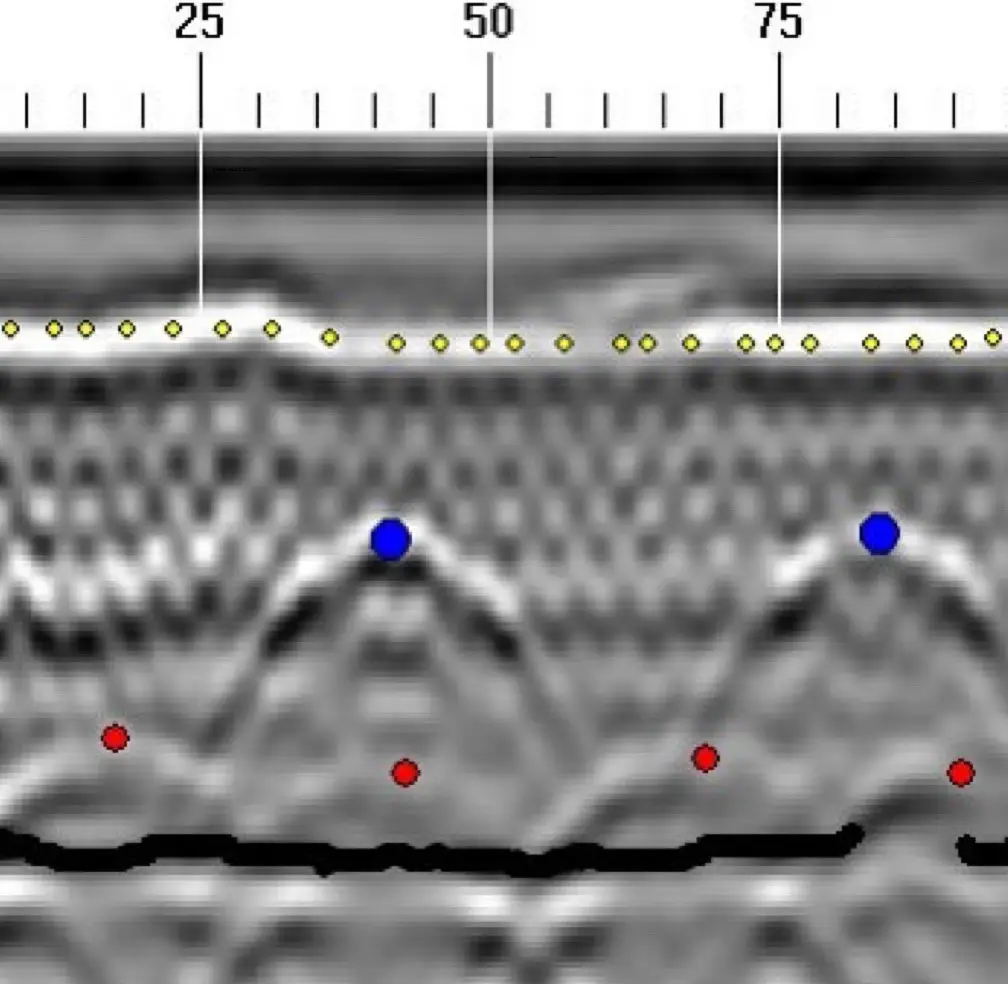
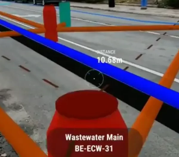
We Use GPR Survey For:
1. Locate and Depth of Subsurface Utilities such as Gas, water, and electrical lines.
2. Detection of Subsurface Voids such as Air pockets, mine shafts, and other cavities.
3. Analysis of Material Inconsistency by capturing variations within concrete or backfilled areas.
4. Structural Examination of the Foundation and checking foundations for soundness.
5. Locating Reinforcement of Concrete like rebar and other forms of reinforcement.
6. Detection of Underground Storage Tanks (UST) for the purpose of environmental and developmental subsistence.
Call us today for your GPR services
We offer comprehensive GPR surveying services in Dubai and UAE. Get in touch today to discuss your project and get a free no-obligation, customized quote.
Why choose us?
Expert Surveyor Team
GeoWorks Arabia's skilled surveyors use advanced equipment in the UAE to precisely scan the surfaces for foundations and list key findings for the next steps. The team does this work fast and with precision giving value to clients.
Professional and timely deliverables
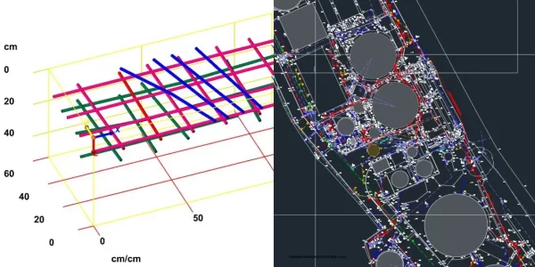
Our qualified survey team delivers quality detailed reports in CAD, GIS, Micro station and 3D format. Accuracy and efficiency are a priority in our work, and we always meet deadlines.

Complimentary Consultation
If you are still confused, get an expert's opinion for free! We will discuss your needs with you, helping you decide the best approach for your project.
Ground Penetration Radar FAQs: Just For You
What is GPR Survey?
A ground-penetrating radar (GPR) survey is a non-destructive utility locating and mapping method of sub-surfaces. GPR scans penetrate the ground with electromagnetic waves and interpret their reflections to give a unique view of what’s beneath the earth’s surface without actually digging it up.
What tools do GPR surveys use?
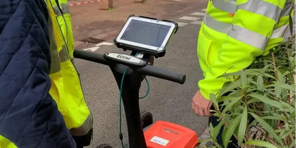
These surveys utilize specialized equipment such as a high-frequency radar antenna, a control unit for signal processing, and often a GPS system for exact positioning. The antenna sends electromagnetic waves into the ground, which bounce off underground objects and create a clear, distinctive subsurface image.
How does GPR survey work?
When electromagnetic waves from the radar antenna shoot into the ground, they interact with various materials under the surface. The reflected signals are recorded, and their relative strength and travel time are analyzed to provide an estimate of the depth, size, and nature of buried objects.
What are the applications of GPR survey?
GPR surveys have a large spectrum of applications in different industries:
1. Construction: locating buried utilities (gas, water, electrical lines), assessing pavement condition, detecting voids under structures.
2. Archaeology: unearthing hidden structures, artifacts, and graves without disturbing the surrounding soil.
3. Environmental studies: assessing landfill installations and investigating soil contamination.
4. Utility mapping: mapping underground utilities such as pipes and cables.
5. Geology: interpreting soil layering and bedrock depths as well as depth to the water table.
What is the difference between GPR and EM survey?
IS EM Any Different?
EM locating is much quicker than GPR and with the capability of smaller cable detection, metallic, and in part non-metallic utilities with the availability of points of access to be both active and passive.
Its drawbacks are that it can only detect objects of a conductive nature, the potential signal loss may occur when the material changes its property or breaks due to technical and signal bleed in the dense area.
The combined use of GPR and EM locating makes it possible to handle cross-referencing data, allow for variable site conditions, thereby providing a relatively bigger amount of knowledge on the topic of the subsurface, and as a result minimizing the risk of damage during excavation.
Electromagnetic and ground-penetrating radar technologies are widely applied to examine the structural and solution features of karst regions to improve site assessments in these areas.
The effectiveness of the techniques varies depending on soil types and properties.
GPR performs well in sandy soils, while EM induction is predominantly favored in clay-rich locations. study on sites showed that with GPR, surface layers and buried features were successfully mapped in the sandy and electrically resistive soils, but with less relative efficiency of EM in the terrain is clayey and depth is limited for GPR.
Both methods have the same applications:
Rapid subsurface imaging at low costs, but they also have disadvantages.
Ground Penetration tool is depth-compromised in soils that are highly conductive, whereas EM suffers from interpretative ambiguity in heterogeneous sub surfaces.
A combined integrated approach using both techniques, supplemented by ground verification, improves users’ confidence in results for land-use planning, especially in karst landscape scenes with possible groundwater contamination and structural instability.
the Ground Penetration Radar is lot more precise in the detection of objects made of either metals or even non-metallic materials and can also be used beyond utilities for discovering the location of things beneath the surface.
However, GPR requires special training in that field, and then there are costs associated with fuel and time to scan. also the positioning of equipment has challenges like how the equipment works on the terrain, obstructions if any and the soil conditions play a role.
