
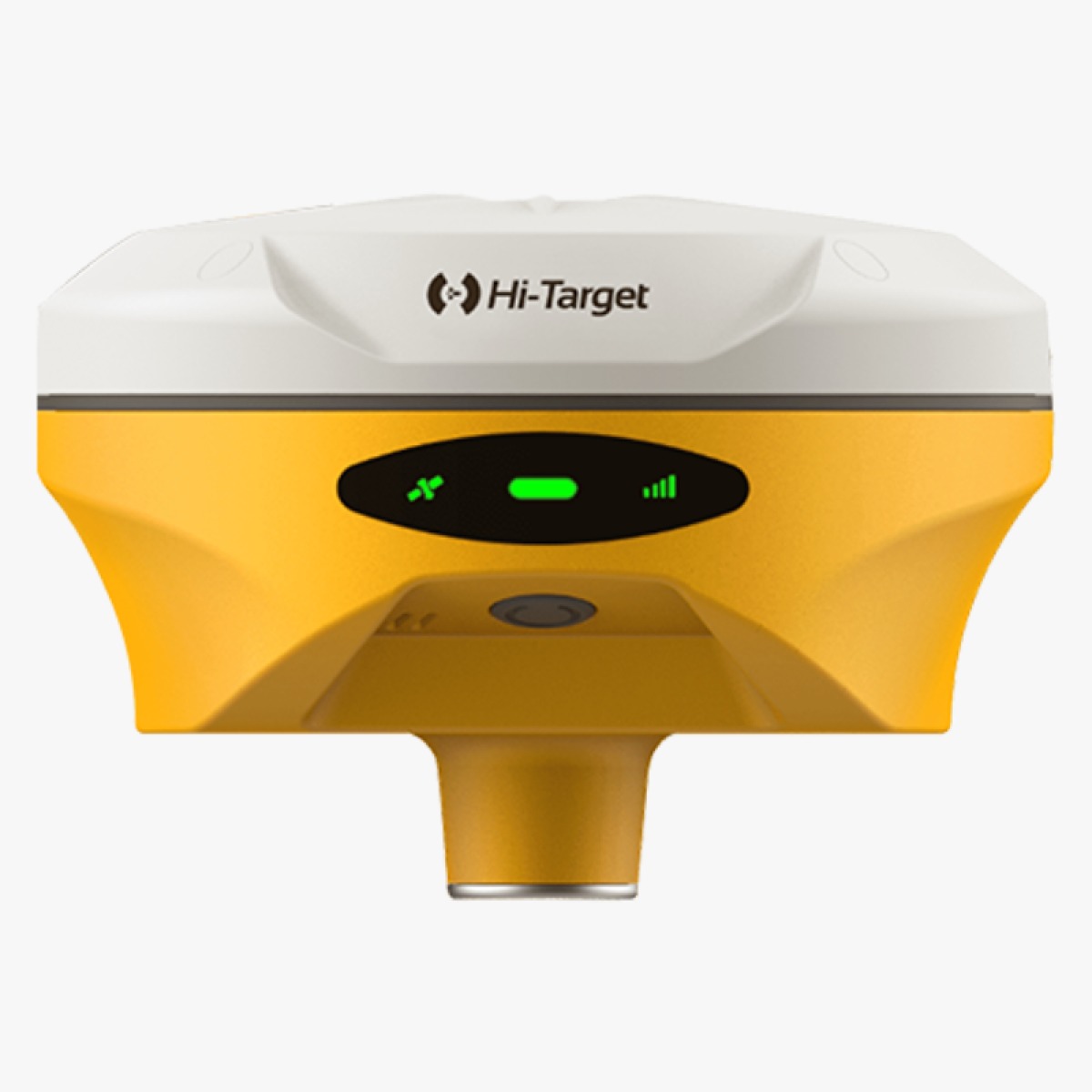
Upgraded high-definition Starlight camera
The V500 features an upgraded high-definition starlight camera that provides an excellent visual stakeout experience in low-light conditions.
Compact and lightweight design
The V500 is compact and lightweight for easy portability.
Fast and accurate data collection
The V500 collects data quickly and accurately.
Improved positional accuracy
The V500 has improved positional accuracy.
User-friendly interface
The V500 has a user-friendly interface.
The V500 Visual Stakeout System is ideal for a variety of engineering applications, including:
- Construction
- Surveying
- Landscaping
- Civil engineering
- Mining
- Utilities
If you are an engineering professional looking for a powerful and versatile visual stakeout system, the V500 from Hi-Target is a great option. It is easy to use, accurate, and portable, making it a great choice for a variety of applications.
Do you have questions about this product?
- Wondering about pricing, availability, or where to buy?
- Need details on technical specifications or usage?
- Curious if it’s the right fit for your project?
Specifications
-
General
-
Height [m] 0.067 Width [m] 0.132 Total Weight [kg] 0.75 Type Land Year of initial introduction 2023 Housing Material magnesium
-
Power
-
Operating power: min. [V] 6 Operating power: max. [V] 28 Typical consumption [W] 3.2 Internal power supply Yes External power supply Yes Certifications CE, FCC, KC, IP67 Rechargeable with (auto)battery Yes -
Performance
-
No. channels 1408 Max. simultaneous tracked channels 1408 Tracked satellite signals GPS: L1/L2/L5/L2C; BDS: B1/B2/B3/B1C/B2a; GLONASS: L1/L2/L3; Galileo: E1/E5 AltBOC/ E5a/E5b/E6; SBAS: L1/L5; QZSS: L1/L2/L5/L6; IRNSS: L5 SBAS differential signals EGNOS,WAAS,MSAS,GAGAN,QZSS Type of measurements full carrier phase -
Environment
-
Operating temperature: min. [°C] -30 Operating temperature: max. [°C] 70 Humidity resistance 100% Water sand and dust proof IP67 Shock and vibration proof 2m
-
-
Reviews
There are no reviews yet.