Best Land Survey Services in UAE
As land survey company, we have a list of 600 + surveyors available for your custom requirements. Hence offering you Professional survey services in Dubai or GPS data processing service in UAE. Additionally we have the best support team to solve the surveying needs across UAE and other locations in GCC remotely.
Although Our company is successful than most others in recruiting skilled professionals. We also offer resources for various projects in land surveying, such as boundary surveys, topographical surveys, construction staking, Additionally our services spread across Mining and Oil and Gas land Surveying as well.
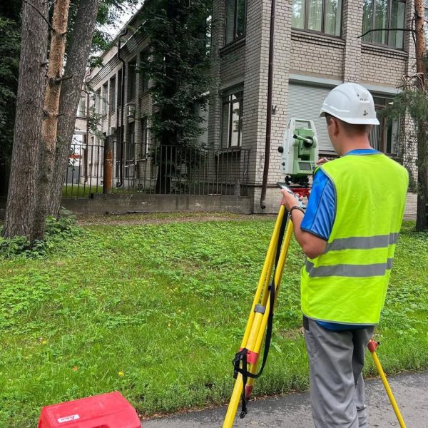
Topography Survey Support:
Equipment Training & Calibration
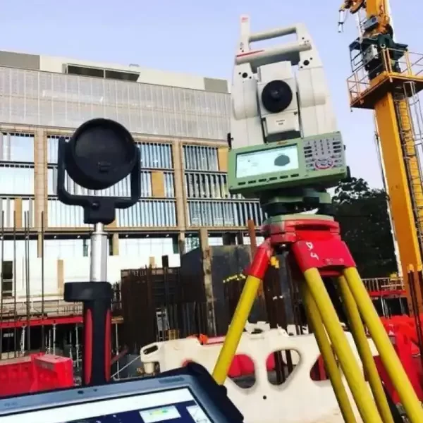
Basically, let us help keep your Topography surveying projects on track. Not only do we offer expert calibration for auto levels & total stations across UAEbut also, we undertake repair services for your used survey equipment to reuse in projects.
Geoworks team can certainly support you enhance your surveying skills with our in-depth training programs as well.
Best Surveying Services in UAE
Firstly, Our approach is transparent and can give you multiple choices on what you can buy. And Secondly, our expertise comes from our knowledge of the industry. Furthermore, our approach is aimed to solving your challenges faster.
- Highly qualified staff
- Honest and flat-rate pricing
- 100% satisfaction guaranteed
- Wide service area
- On-demand services
We offer Affordable Surveying solutions
Across Dubai, Abu Dhabi, Sharjah, Fujeirah, Ajman, Umm Al Quain and Ras Al Khaimah
Let us assist you to find:
- Professional Land Surveyors (PLS)
- Survey Project Managers
- Field Surveyors
- Survey Data Technicians (GIS & CAD)
- Survey Party Chiefs
- Instrument Operators
Best Consultants for Topographic Survey Works in UAE
Our differentiation is not only with our professional team and infrastructure but also with the following services:
Survey work consultancy
Offering expert analysis, precise data collection, and tailored insights to enhance decision-making and drive project success in Middle East
GIS data processing
GIS data processing service transforms complex geographic information into actionable insights, enhancing spatial analysis for informed decision-making and planning.
Training on various analysis tools
We provide comprehensive training on various analysis tools, empowering teams to leverage data effectively and enhance their analytical capabilities for informed decision-making.
Equipment installation
Equipment installation service ensures seamless setup and integration of advanced systems, optimizing functionality and performance for your operational needs.
Service packs
Service packs tailored to support and upgrades, ensuring your systems remain efficient, secure, and up-to-date with the latest features and enhancements.
CAD, 3D Ground Modelling and Design
Top level service in data conversions and at rates which ae affordable and delivered on time.
Need an experienced consulting land surveyor?
We’re available from Mondays through Saturday, 8:00 AM to 5:00 PM
what we do
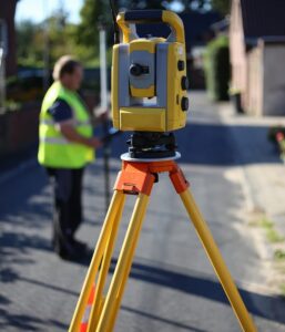
Land Surveying is the technique, profession and science of determining the terrestrial or three-dimensional position of points and the distances and angles between them.
These points are usually on the surface of the Earth and are often used to establish land maps and boundaries of ownership. That along with the locations of building corners, surface location of subsurface features that are required for projects.
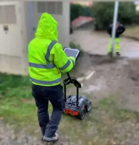
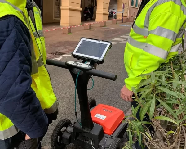
Underground utility survey refers to the survey conducted to determine the type and location of utility infrastructure beneath the ground before work begins at a site.
The underground utility surveys allow the surveyors to generate a comprehensive map that the client can use in the planning process of a project. It thus helps clients save time spent on design and planning and reduces the risks and the need for costly adjustments in the course of the project.
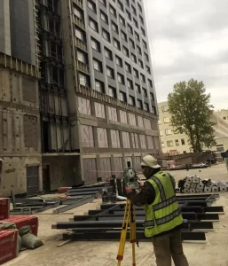
Construction Layout is the stake of reference points and markers that will guide the construction of new roads, buildings, utilities and more.
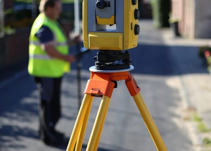
These markers are usually staked out according to a suitable coordinate system selected for the project. Our survey crews utilize total stations for all Construction Layout & Land Surveying projects. They are backed up by Project Management teams using technology and the right software to support.

